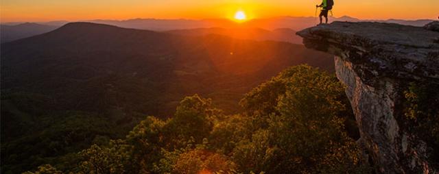
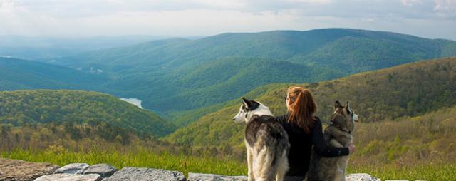
Set out on an adventure during any season and be rewarded with panoramic, breathtaking views when you summit the highest peaks in Virginia.
If you're looking for sky-high views, Grayson and Smyth Counties in Southwest Virginia have five summits exceeding 5,000 feet that'll impress every hiker. Mark Grayson Highlands State Park on your map, that's where your high peak adventures will take place.
Here are the five highest peaks in Virginia, plus tips for how to reach their heights.
Mount Rogers
Mount Rogers
Elevation: 5,729 feet
36.660ºN -81.545ºW
Mount Rogers is the highest peak in Virginia, rising over a 200,000-acre mountain parcel in Southwest Virginia. The Mount Rogers National Recreation Area offers trout-filled streams, forested ridges, wild ponies, and 500 miles of trails to explore.
Get to the Top: Start in Grayson Highlands State Park and prepare for a nine mile out-and-back hike. Your trek will take you along the Appalachian Trail and into Jefferson National Forest.
Whitetop Mountain
Grayson Highlands State Park
Photo Credit: Sunshine Sol @withsunshinesol
Elevation: 5,525 feet
36.639ºN -81.605ºW
Whitetop is at one end of the Virginia Creeper Trail, a 35-mile rail-to-trail with points in Abingdon and Damascus as well. It's also part of the Mount Rogers National Recreation Area. You'll find Grayson Highlands State Park situated between Mount Rogers and Whitetop.
Get to the Top: This is a more accessible peak, because there's a road that goes to the top (the highest road in Virginia, in fact). Fair warning — you may not find the views spectacular, but brush up on your bird-watching skills and you'll have a great time.
Pine Mountain / Wilburn Ridge
Birch Knob Tower, Pine Mountain
Photo Credit: Sunshine Sol @withsunshinesol
Elevation: 5,525 feet
36.657ºN -81.521ºW
Wilburn Ridge is the highest peak on Pine Mountain and is part of the Mount Rogers National Recreation Area. The best access point is through Grayson Highlands State Park at Massie Gap.
Get to the Top: This moderately challenging hike includes stretches of the Appalachian Trail, a scramble over Wilburn Ridge, and the Rhododendron Gap Trail.
Buzzard Rock
Buzzard Rock
Photo Credit: Danielle Ortiz-Geis @danielleortizgeis
Elevation: 5,095 feet
36.635ºN -81.617ºW
Buzzard Rock is a summit of Whitetop Mountain. Indeed, the two can be experienced in the same trip. The distance between them is just shy of seven miles.
Get to the Top: Park at Buzzard Rock parking area or start from the Signal Knob Trailhead and make your way up the rocky, moderately challenging path to the peak.
Haw Orchard Mountain
Grayson Highlands State Park
Photo Credit: Joshua Moore @jtm71
Elevation: 5,007 feet
36.630ºN -81.510ºW
Haw Orchard Mountain is within Grayson Highlands State Park. The peak is often paired with the Twin Pinnacles Loop because Haw Orchard is between Big Pinnacle and Little Pinnacle.
Get to the Top: Access the trailhead at Massie Gap.
See more mountain destinations and check out our complete guide to visiting Virginia's mountains.