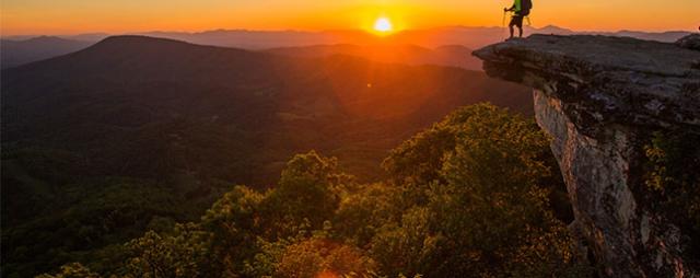
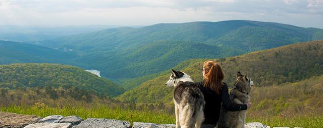
You’ve heard the old saying about hiking a mountain “because it is there”. Well, Virginia has mountains galore, ready to be hiked. Hiking to a Virginia mountain just because it is there can be a good reason to hike, but how about hiking to a summit with magnificent views extending a full 360 degrees? Put yourself on top of Mary's Rock in Shenandoah National Park, where a naked rock mantle offers incredible Virginia mountain and countryside scenery extending clear to the horizon. Or gaze out from High Knob Tower in Southwest Virginia, where not only Virginia magic can be seen but 4 other states as well. Peer down from Humpback Rocks, admiring the historic Carter Farm just below an endless horizon in the distance. Read on, learn about, then go explore 20 Virginia summits with 360-degree views.
HIGH KNOB TOWER
Nearest Town: Norton
The Hike: 100 yards
Summit Elevation: 4,223 feet
Trailhead GPS Coordinates: 36.8951, -82.62611
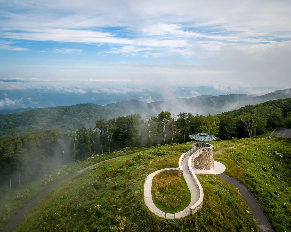
Photo Credit: Brad Deel, @brad.deel
It is but a short walk to this restored tower atop highlands above the Clinch River and Guest River Valleys. Part of the Jefferson National Forest. The tower has been recently restored and is attractive in its own right. The circular structure allows pure 360-degree vistas. In addition to Virginia, see Kentucky, Tennessee, North Carolina and West Virginia. High Knob is also the start of the Chief Benge Scout Trail, a 19-mile one-way trek that passes remote valleys, waterfalls, and small lakes, as well as nearby national forest campgrounds.
Beyond the Summit: Consider overnighting at High Knob Campground, a national forest facility just below the summit. Makes for a great base camp to explore the area.
THE CHANNELS
Nearest Town: Lebanon
The Hike: 6.2 mile round trip
Summit Elevation: 4,180 feet
Trailhead GPS Coordinates: 36.86484, -81.94704
Experience incredible mountain views and see an old fire tower and warden’s cabin, in addition to the unusual rock formations that give the Channels a name. The hike from Hayters Gap climbs a little over 1,000 feet to the high point atop Clinch Mountain -- Middle Knob in the shadow of a retired fire tower. Nearby are The Channels, a maze of slender paths running between, around, and under huge sandstone monoliths. This Virginia natural area preserve deserves its protection, and is one of the most unusual rock formations in the Appalachians.
Beyond the Summit: Venture to the town of Abingdon, only an hour drive away from the Channels. Settle down after the hike with food and live music at Bonefire Smokehouse or Sweetbay Brewing Company with regularly scheduled acts from local and regional artists.
Note: The parking area is limited to 10 vehicles. If the parking area is full when you arrive, please come back another time. Parking along Highway 80 is not permitted, and violators will be ticketed.
DRAGON'S TOOTH
Nearest Town: Roanoke
The Hike: 4.9 mile round trip
Summit Elevation: 3,020 feet
Trailhead GPS Coordinates: 37.37875, -80.1562
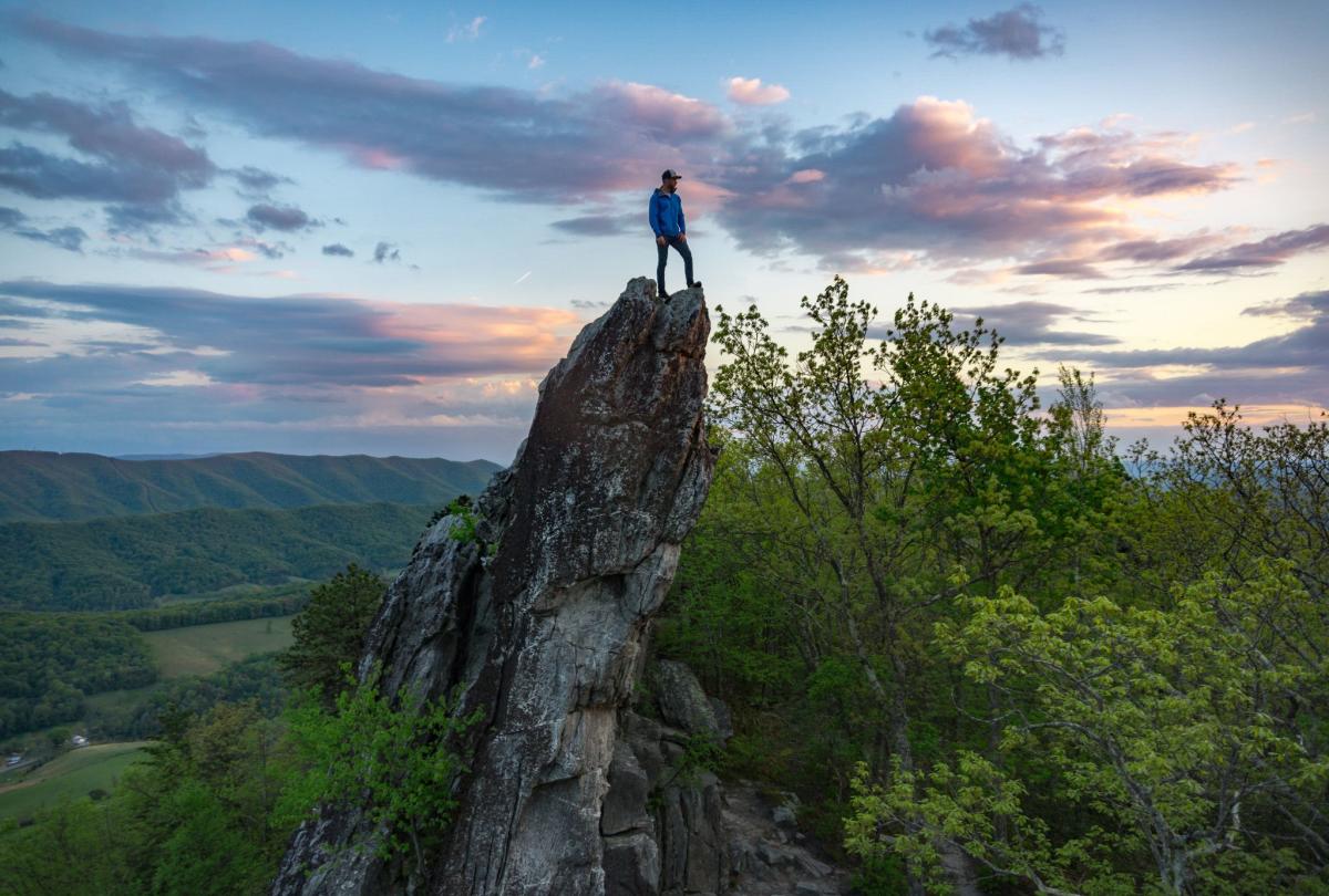
Photo Credit: Joseph Mesite
This deservedly popular destination travels up Cove Mountain to a vertical stone slab providing 360-degree panoramas. This is a fun yet challenging hike to a geological formation that is fascinating to see while providing a vista from its tiptop. Be apprised that part of the hike, a part that is on the Appalachian Trail, does require a modicum of rock scrambling using hands and feet. That being said, the hike is done by thousands every year. And the hike certainly shows off the Roanoke River Valley in a spectacular setting.
Beyond the Summit: Drive back down to the lowlands near Salem and head underground into Dixie Caverns, a commercial show cave that been in business a long time. Take a cave tour -- shopping, souvenirs, and camping, too.
OLD RAG
Nearest Town: Sperry
The Hike: 9.1 mile loop
Summit Elevation: 3,268 feet
Trailhead GPS Coordinates: 37.96874, -78.89613
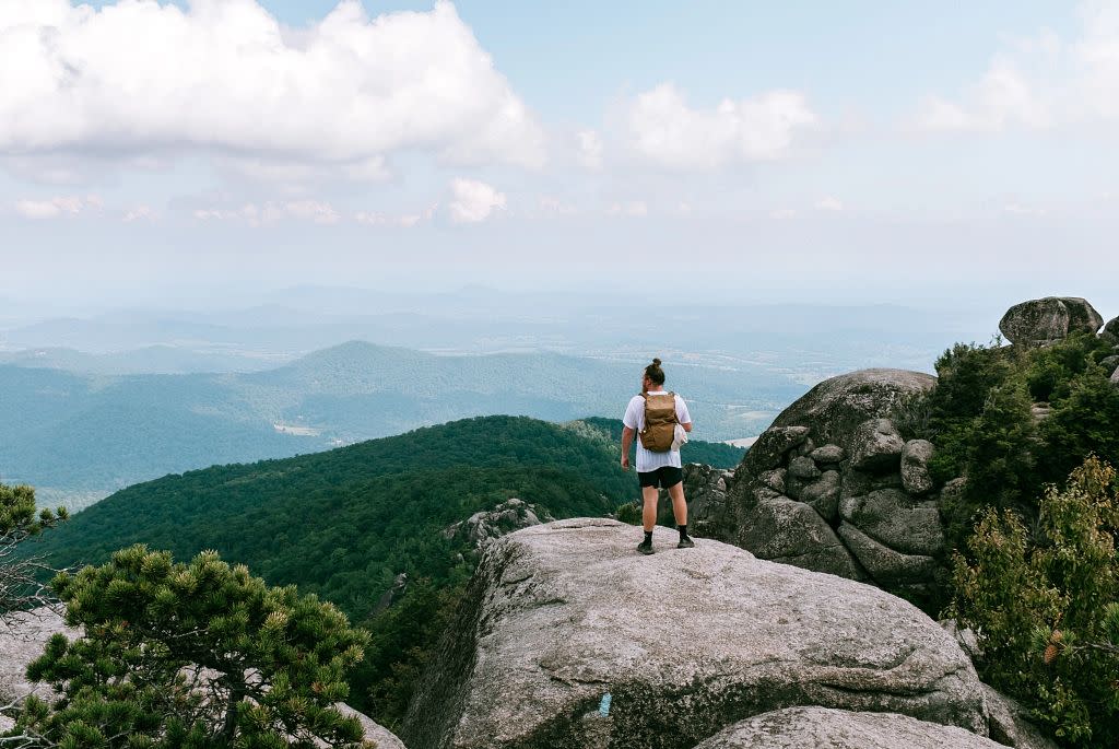
Old Rag is Virginia’s contribution to great mountains of the world. The well-loved Shenandoah classic loop from the eastern lowlands is a difficult hike. Strike up the north slope of Old Rag, emerging onto a massive granite slab, revealing incredible panoramas. Enter a maze of boulders, with some bona fide rock scrambling to reach the summit with stellar views. Wind-sculpted vegetation clings to life among the cracks and crevices up here. Certain areas are cordoned off to protect the vegetation. From here you can see all directions, with the drop off to the east most pronounced. Leave the rugged mountaintop and reenter the lowlands via the pretty valley of Brokenback Run on a foot-relieving gravel fire road.
*From March 1 – November 30, visitors to Old Rag Mountain, including hikers on the Saddle, Ridge, and Ridge Access trails, will need to obtain an Old Rag day-use ticket in advance, in addition to a Park entrance pass. Find out more information on the National Park Service Old Rag day-use ticket FAQ page.*
Beyond the Summit: Drive to Culpeper for a well-deserved meal at Shawn’s BBQ. Go hog wild since you just burned a boatload of calories.
BEARFENCE MOUNTAIN
Nearest Town: Elkton
The Hike: 1.0 mile round trip
Summit Elevation: 3,420 feet
Trailhead GPS Coordinates: 37.96874, -78.89613
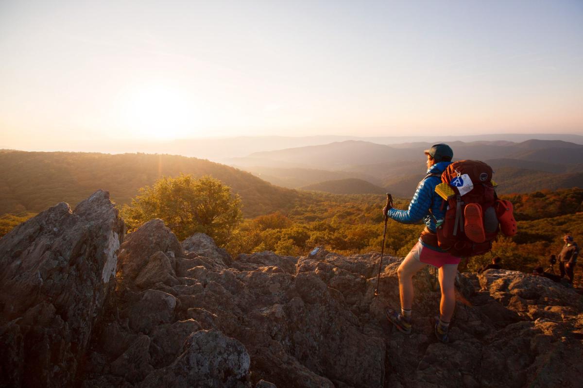
The full name of this fun little trek to a rock outcrop with 360-degree panoramas is the Bearfence Mountain Rock Scramble. You do use all fours in places but it is not dangerous unless you were doing it in a pouring rain. Take the Bearfence Loop Trail from Skyline Drive in Shenandoah National Park. The trek becomes more boulder strewn until you hit an incredible open vista. Fantastic panoramas open in all directions, including the Conway River drainage, Fork Mountain, Jones Mountain, and Cat Knob in the park. Beyond stretches the Shenandoah Valley to the west and the Piedmont to the east. This is one of the best views Shenandoah National Park, fun for an active family.
Beyond the Summit: Speaking of family fun, head down to Elkton after your adventure then splash your way through Massanutten Water Park.
BLACKROCK SUMMIT
Nearest Town: Waynesboro
The Hike: 1.1 mile loop
Summit Elevation: 3,160 feet
Trailhead GPS Coordinates: 38.22292, -78.73332
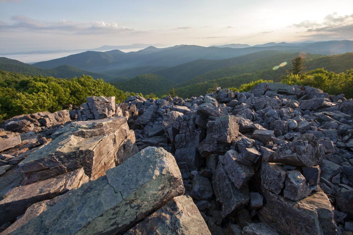
Make an easy walk from Shenandoah National Park’s Skyline Drive to an incredible rock jumble on the Appalachian Trail. Views extend for miles in multiple directions from the summit of boulder-strewn Blackrock. Hundreds, likely thousands of broken stones rise in a natural jagged pile. Views open to your south, then west. Paine Hollow creates a void below, while the forest and rock slopes of Trayfoot Mountain rise in the distance. The boulder stack of Blackrock rises to your right, coming together in a crown above.
Beyond the Summit: Head north a few miles on Skyline Drive to Loft Mountain Wayside. Grab an ice cream cone in the summertime. Loft Mountain Campground is a great overnighting destination
FLAT TOP
Nearest Town: Bedford
The Hike: 5.6 mile round trip
Summit Elevation: 4,001 feet
Trailhead GPS Coordinates: 37.47295, -79.58028
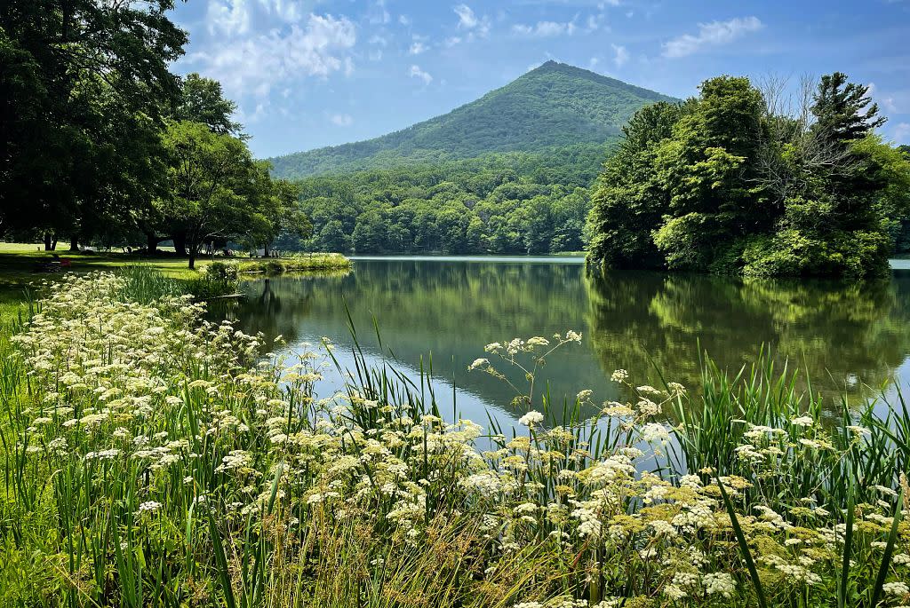
Photo credit: Rich Grant, @richgrantdenver
A switchback-laden ascent takes you to the top of Flat Top Mountain where views of the adjacent Peaks of Otter and beyond can be had from both sides of the mountain. Along the way, wind through attractive woods that open to Cross Rock and a warm-up vista. The 1,500-foot climb to the top of Flat Top is mitigated by first-rate, quality trail construction and the aforementioned switchbacks. If you can, choose a clear crisp day to make this trek. The views are marvelous. A crystalline fall day will reveal a cornucopia of color, while winter’s bite will be on your nose and hands but allow views to stretch as far as the clarity of the sky allows. A post-front spring day will expose the greens of spring inexorably climbing from the James River 3,000 feet below.
Beyond the Summit: Peaks of Otter Lodge is located nearby just a few miles down the Blue Ridge Parkway. Here, you can overnight on the shores of Abbott Lake, dine in the restaurant there, or take a bus to Sharp Top, which also has incredible views.
HUMPBACK ROCKS
Nearest Town: Waynesboro
The Hike: 4.9 mile loop
Summit Elevation: 3,260 feet
Trailhead GPS Coordinates: 37.96874, -78.89613
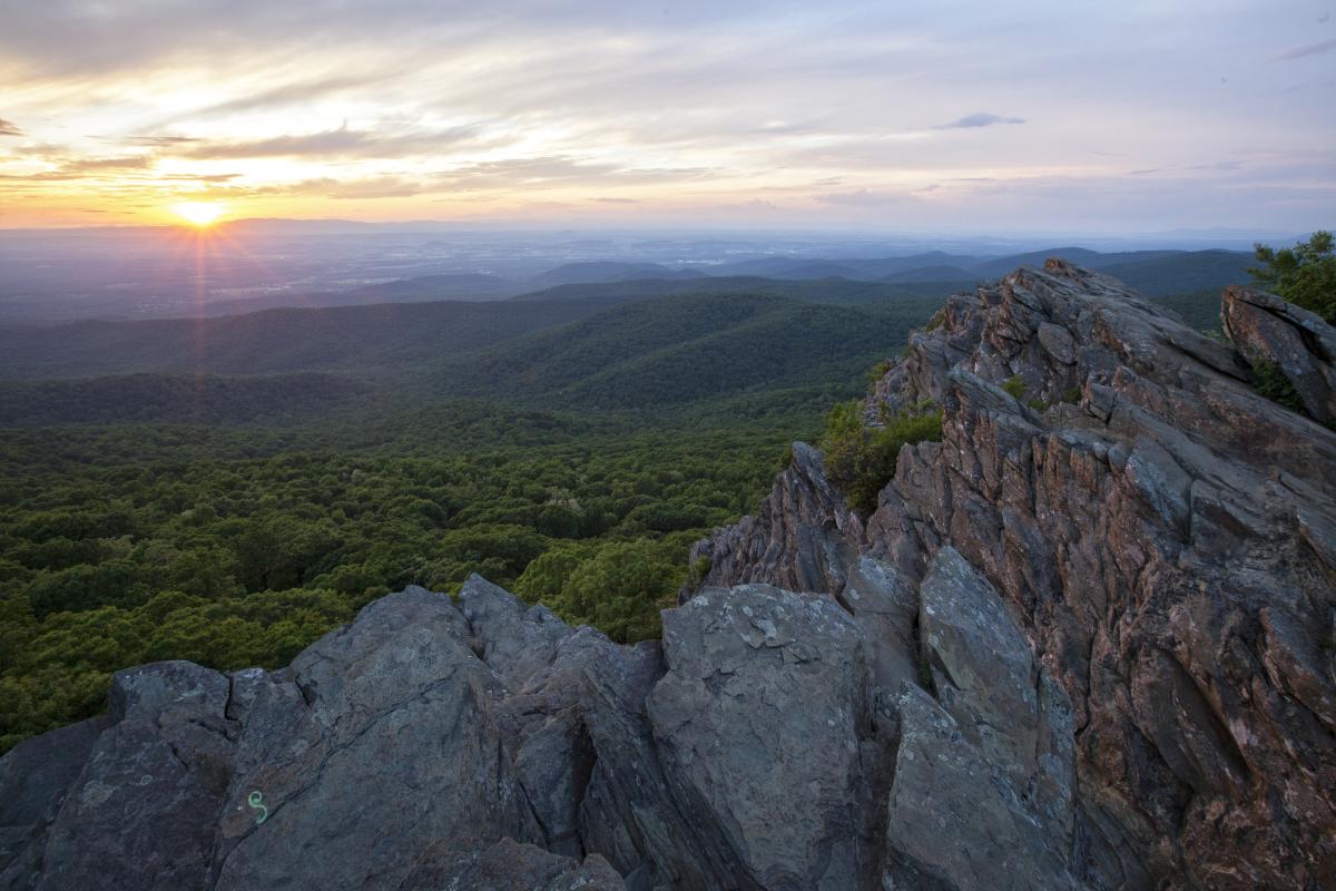
Start this rewarding, view-rich hike along the Blue Ridge Parkway. Make a rocky ascent to the Humpback Rocks. The prospects are wide and distant. Below, the William J. Carter Farm is tiny. To your north, the spine of Shenandoah National Park stretches to the horizon. Looking west, the Shenandoah Valley forms a patchwork of field and forest. Behind it rises the Alleghenies, delineating the West Virginia border. Turn around and look east to the Piedmont as it stretches toward the sea. Make sure and visit the multiple overlooks atop Humpback Rocks. From there, descend on the AT in a series of switchbacks. Finally, take the old Howardsville Turnpike back to the trailhead.
Beyond the Summit: Take a drive along the Blue Ridge Parkway, as you are at its northern end. Camp, fish or swim at Sherando Lake Recreation Area, below you in the Washington National Forest.
WHITE ROCKS
Nearest Town: Ewing
The Hike: 7-mile round-trip
Summit Elevation: 3,513 feet
Trailhead GPS Coordinates: 36.65227, -83.43571
White Rocks stands out from near and far. Purportedly named by Daniel Boone, the rock protuberance is located at Cumberland Gap National Historical Park in far Southwest Virginia. It’s a climb to reach White Rocks from Ewing, but the trail is well graded. Once up there, open onto a rounded stone knob presenting views in all directions, down across the Tennessee River valley all the way into the Smokies. Look down the spine of Pine Mountain, forming the Virginia-Kentucky state line, as well as north into the Bluegrass State. A truly rewarding trek.
Beyond the Summit: Explore the balance of Cumberland Gap National Historical Park, as well as Virginia’s own Wilderness Road State Park, which also specializes in historical interpretation of Daniel Boone and his journeys, which took him through Virginia en route to opening Kentucky.
STONE MOUNTAIN
Nearest Town: Troutdale
The Hike: 1.6 mile round trip
Summit Elevation: 4,940 feet
Trailhead GPS Coordinates: 36.67, -81.48692
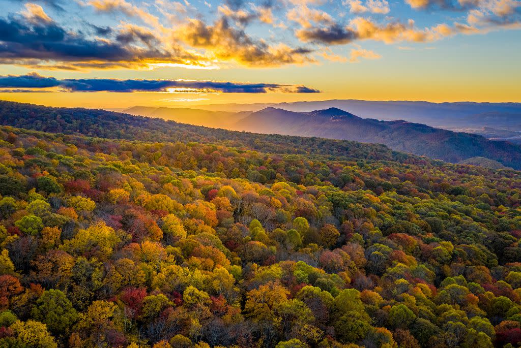
Photo Credit: Brad Deel, @brad.deel
The Mount Rogers High Country offers several locations with eye-popping vistas, but the panorama from atop Stone Mountain is lesser visited and actually serves as a grandstand to see the balance of the highlands around you. Start at 4,600 feet at Scales trailhead, then take the First Peak Trail up an open mountainside dotted with bushes that delivers instant views. Make your way to the open crest of Stone Mountain and find your favorite spot. Views spill in all directions, mostly of nearby high peaks but also the distant lowlands.
Beyond the Summit: Try some of the other trails in the Mount Rogers High Country. The Appalachian Trail through here is a good conduit, as is the Scales Trail. Bag Virginia’s highest peak of Mount Rogers (elevation 5,728 feet), which ironically is completely wooded and thus doesn’t offer views from the actual high point but has panoramas aplenty from its slopes.
COMERS ROCK
Nearest Town: Speedwell
The Hike: .8 mile round trip
Summit Elevation: 4,100 feet
Trailhead GPS Coordinates: 36.76457, -81.22706
You can drive almost to the top of remote Comers Rock. From the trailhead, take stone steps up to the summit. The natural clearing of stone has been enhanced with a wooden observation platform offering 360-degree views. From here, you can look down on wooded parts of Mount Rogers National Recreation Area as well as farms and fields of Grayson and Wythe counties. Additional hiking trails spur through the area. Comers Rock Campground makes for an ideal remote car camping getaway and nearby Hale Lake presents some upland trout fishing along the spine of the Iron Mountains.
Beyond the Summit: Drive into Wytheville and hit the Log House 1776 Restaurant. Naturally, they serve American fare in an interestingly decorated wood structure.
CHESTNUT RIDGE/KNOB
Nearest Town: Bland or Tazewell
The Hike: 5.6 mile round trip
Summit Elevation: 4,390 feet
Trailhead GPS Coordinates: 36.98347, -81.40641
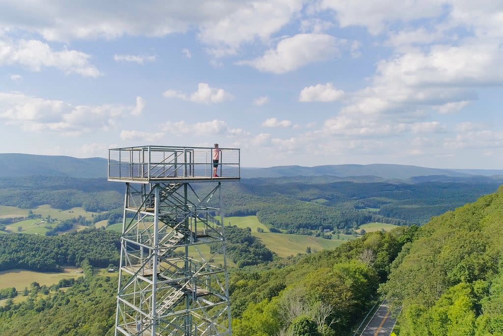
Photo Credit: Sam Dean, @sdeanphotos
Take a lesser-trod section of the Appalachian Trail to reach the open grassy summit of Chestnut Knob. From there you can peer down on Burkes Garden, the largest historic rural district in Virginia, and the state’s highest valley, standing over 3,000 feet above sea level. The climb leads from the Lick Creek Valley to the crest of Chestnut Ridge. Once atop this ridgecrest, pass through a series of highland meadows, breaking 4,000 feet to reach Chestnut Knob and the view of Burkes Garden. Here, you can also visit the enclosed stone cabin of a former warden who fire watched from the now dismantled tower. Today, the stone cabin is an Appalachian Trail shelter, used by backpackers traversing the highlands of the Old Dominion.
Beyond the Summit: Between the trailhead and Bland you will pass the side road leading up to Big Walker Lookout, a privately held vista point and country store. Been in business since 1947!
WIND ROCK
Nearest Town: Pembroke
The Hike: .5 mile round trip
Summit Elevation: 4,128 feet
Trailhead GPS Coordinates: 37.41216, -80.52266
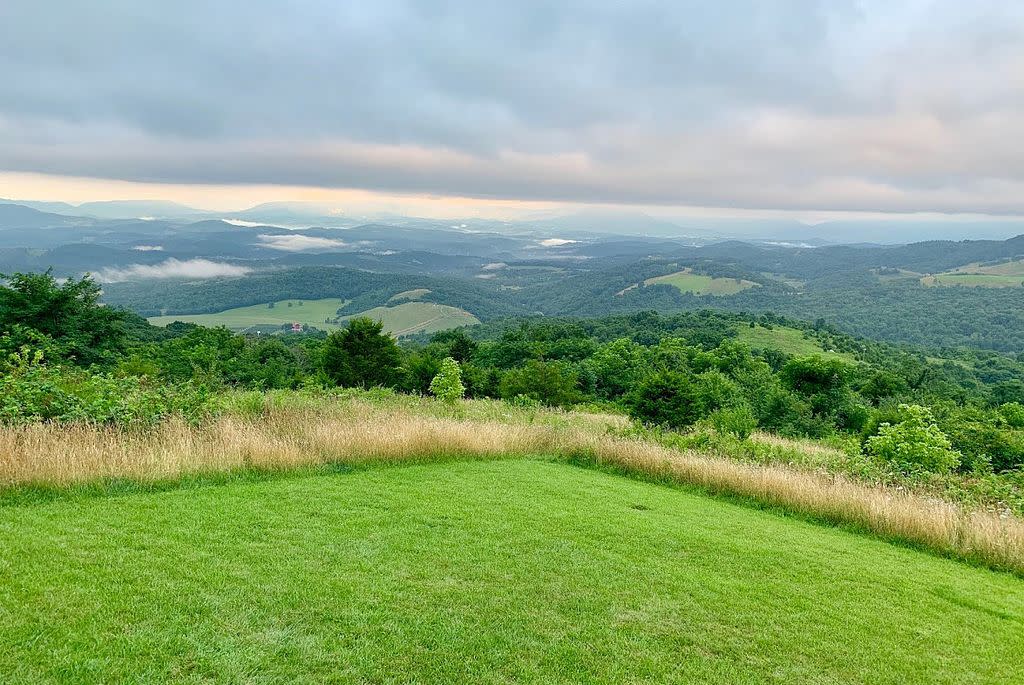
It is a short hike on the Appalachian Trail in picturesque Giles County to Wind Rock, high atop Potts Mountain. Former site of the Stoney Creek Fire Tower. The walk is uphill but is only a quarter-mile one way, northbound on the AT. Here, you open onto an angled rock outcrops. Gaze north, west and east from Wind Rock. Peters Mountain stretches wide across the Stony Creek valley. To your left Big Mountain extends toward the New River. Potts Mountain keeps going to the northeast.
Beyond the Summit: Mountain Lake Lodge is located nearby. Situated on a natural highland tarn -- only one of two natural lakes in Virginia – the locale has been the site of hotels and summer visitors since the early 1800s. The resort is surrounded by a large nature preserve that offers more trails of its own. Dine and spend the night here, too.
BLUFF MOUNTAIN
Nearest Town: Buena Vista
The Hike: 3.8 mile round trip
Summit Elevation: 3,372 feet
Trailhead GPS Coordinates: 37.67512, -79.33334
Looking for a magnificent summit view that is haunted? Look no further. Take a walk from the Blue Ridge Parkway up to Bluff Mountain, former site of a lookout tower that delivers worthy vistas even without the tower. More importantly, this peak was where the body of little Ottie Powell was found back in 1891, after the four year old went missing from Dancing Creek School, down in the lowlands. How he ended up here remains a mystery to this day. A memorial to Ottie stands at the summit. Nearby views reveals the Maury River Valley to the west, still farther to Lexington, Mill Mountain and to West Virginia. To the east, the James River Valley courses through knobby hills, bound for Richmond. The Blue Ridge rolls north to Shenandoah National Park.
Beyond the Summit: Since you access the hike from the Blue Ridge Parkway, continue onward, south toward the crossing of the James River or north toward Shenandoah National Park.
MOUNT PLEASANT
Nearest Town: Buena Vista
The Hike: 6.4 mile loop
Summit Elevation: 4,021 feet
Trailhead GPS Coordinates: 37.75884, -79.18842
Use the Henry Lanum Trail to make a gorgeous circuit through aptly named Mount Pleasant National Scenic Area. Along the way, join a spur taking you to the top of Mount Pleasant, with its twin outcrops that offer 360-degree panoramas of the Blue Ridge and points beyond. See the meadows of Cole Mountain in the near, the spine of the Blue Ridge and lower terrain beyond. One of my favorite panorama hikes in the state.
Beyond the Summit: Head into Buena Vista for some pizza, calzones or pasta at Original Italian Pizza.
THE PRIEST
Nearest Town: Steeles Tavern
The Hike: 9 mile round trip
Summit Elevation: 4,063 feet
Trailhead GPS Coordinates: 37.82992, -79.08259
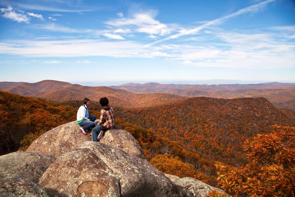
This Appalachian Trail hike leads through The Priest Wilderness to a 4,000-foot high outcrop and a stellar view of the Tye River Valley and mountains beyond. From this same trailhead, you can also hike to Crabtree Falls, Virginia’s highest fall and arguably the highest cataract in the East. The hike to The Priest travels through The Priest Wilderness, a 5,963-acre reserve. Priest Mountain’s view opens a reserve of mountains, a wilderness landscape devoid of civilization’s signs. Below, the Tye River gathers its tributaries, including Crabtree Creek. From the left, the outcrops of Pinnacle Ridge stand out. Beyond, the Big Levels on the Blue Ridge Parkway, then Torry Ridge, then the Devils Knob and Three Ridges Wilderness form a left-to-right frame. On a clear day, Massanutten Mountain can be seen in the most distant distance.
Beyond the Summit: Check out the historic Cyrus McCormick Farm, of spice fame. His homestead and farm is down by Steeles Tavern.
REDDISH KNOB
Nearest Town: Harrisonburg
The Hike: Mere feet
Summit Elevation: 4,397 feet
Trailhead GPS Coordinates: 38.46234, -79.2417
Okay, you can drive to this overlook on a prominence straddling the Virginia-West Virginia state line. Reddish Knob is the highest peak in northern Virginia. The cleared parking area avails 360-degree views east from Shenandoah Mountain into the Shenandoah Valley to the east and the mountains of West Virginia to the west. Plenty of hiking, mountain biking trails as well as frontcountry and backcountry camping are here in the swath of the Washington National Forest.
Beyond the Summit: Hit the Capital Ale House in downtown Harrisonburg. Order from their extensive beer list to help you wash down a burger. There is tons of other fantastic local dining, including Jack Brown's Beer & Burger Joint (the original location), Bella Luna Wood Fired Pizza, and Heritage Bakery.
WOODSTOCK TOWER
Nearest Town: Woodstock
The Hike: 2.0 mile round trip
Summit Elevation: 1,893 feet
Trailhead GPS Coordinates: 38.86725, -78.44327
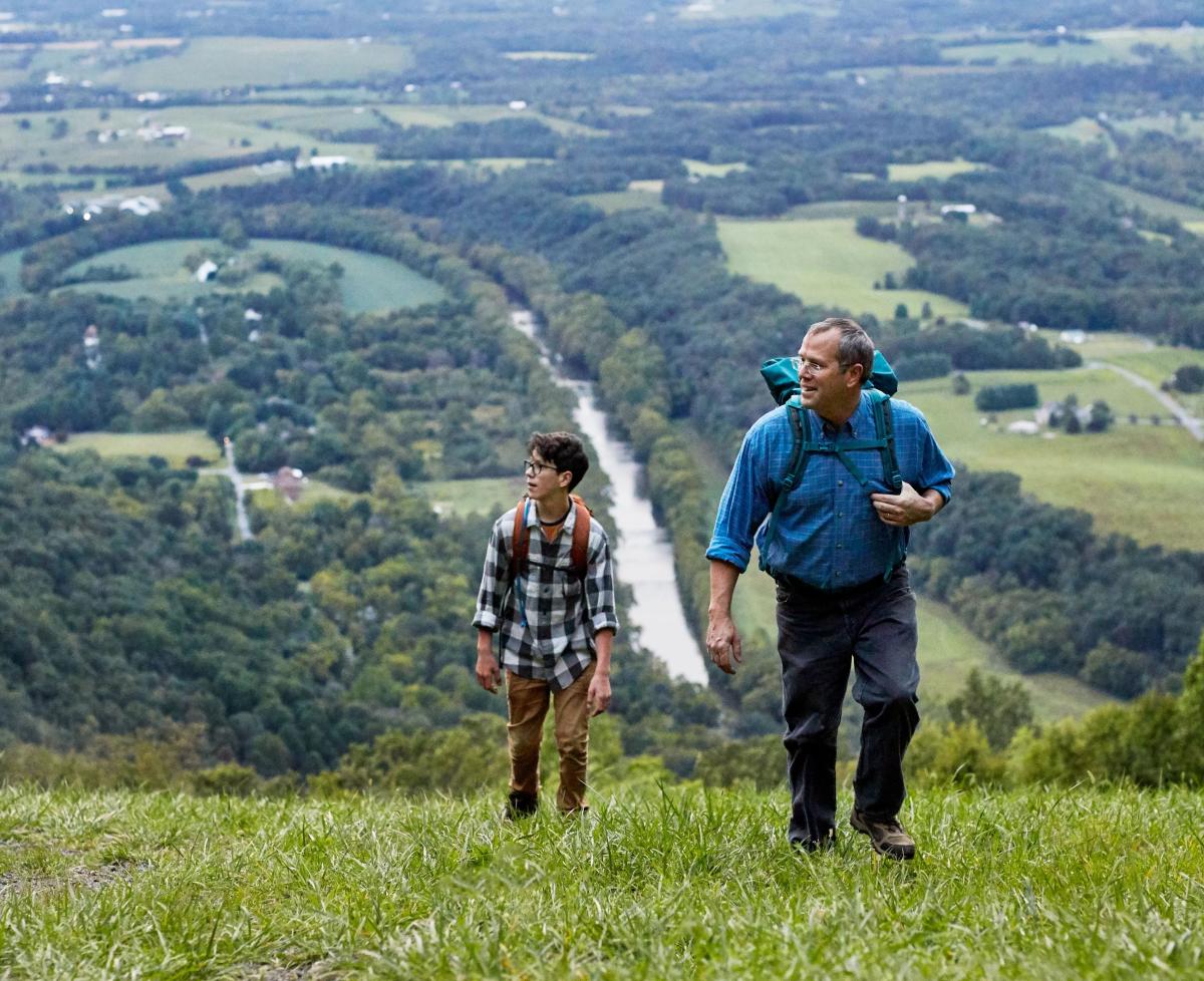
It’s a short hike from Little Fort Recreation Area in the George Washington National Forest to this tower atop Powell Mountain. The structure offers 360-degree views of the upper Shenandoah River Valley. The North Fork Shenandoah River makes an aquatic ribbon below and to the west, with the town of Woodstock and rural Virginia in the yon, while to the east you can scan above Green Mountain and through Woodstock Gap to the South Fork Shenandoah River and Shenandoah National Park beyond. While on the hike stay with the marked foot trail to the tower, avoiding OHV trails along the way.
Beyond the Summit: While here, float down a river. Outfitters are ready and waiting on the South Fork Shenandoah River. A great way to add an aquatic component to your mountaintop view.
MARY'S ROCK
Nearest Town: Luray
The Hike: 7.2 mile round trip
Summit Elevation: 3,730 feet
Trailhead GPS Coordinates: 38.62397, -78.34273
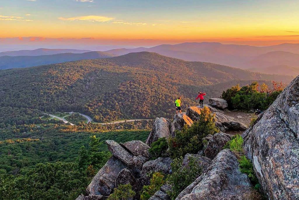
Photo Credit: Sarah Greene @scenebygreene
There are shorter ways to reach Mary's Rock -- with its unbroken 360-degree views from its stony summit -- but the route from Pinnacles Picnic Area is undoubtedly the best. The views are frequent and sensational along the way. Mary's Rock provides the denouement to this there-and-back trek along the Appalachian Trail. You start high and stay high so the hiking isn’t rough either. The panorama from the huge outcrop ranges – well, just about everywhere. Choose your viewing spot. To the north, easy views open of many Blue Ridge peaks. The town of Luray and the Shenandoah Valley stretch to the west. The Thornton Gap entrance station stands clearly below. Agile hikers can walk to the highest rock of the outcrop, due south from the main overlook. The top is marked with a pair of USGS survey markers. From there, you can gander in all four cardinal directions.
Beyond the Summit: For a different walking experience, visit the Garden Maze in Luray. See if you get lost or manage to find your way out.
COMPTON PEAK
Nearest Town: Front Royal
The Hike: 3.2 mile round trip
Summit Elevation: 2,909 feet
Trailhead GPS Coordinates: 38.82326, -78.17021
The Appalachian Trail (AT) is your host along the way to two outcrops with fantastic panoramas, standing within the bounds of Shenandoah National Park. And for a climb to a vista, this is not steep. From the first outcrop, view the track of Skyline Drive, including Gooney Run Overlook, as it snakes downhill along Dickey Ridge. To the far left are the South Fork of the Shenandoah River and the Shenandoah Valley. Ahead, more mountains and the flatlands extend toward Washington, D.C. This is a truly inspiring vista. The second view offers worthy views of Mount Marshall in the foreground and lands east of the Blue Ridge.
Beyond the Summit: After the hike, head down to Front Royal, grab some lunch at the PaveMint Taphouse and Grill, then tour underground at nearby Skyline Caverns.